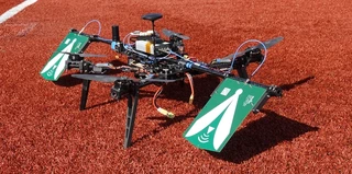
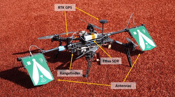
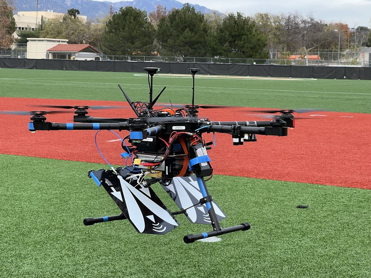
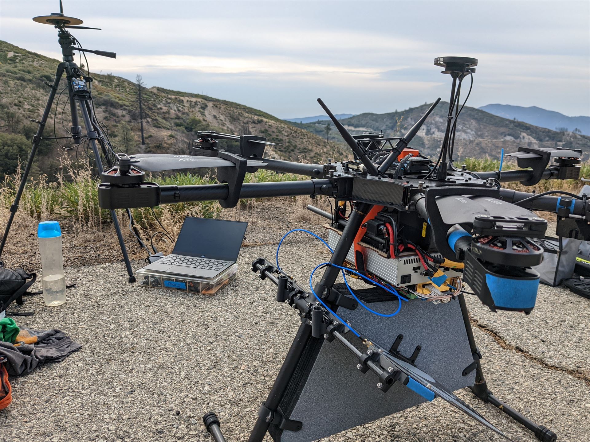
DARTSMay 9, 2021 · 1 min readprojectsEnhance global mapping of surface topography and 3D vegetation using multi-static SAR observations. Below are some images taken during some of our flight tests at North Field, Caltech.Last updated on May 9, 2021Uas AuthorsMatt AndersonStaff ScientistField roboticist, aero engineer, system architect ← Volcano Drone May 9, 2021F9P GPS Logger Board May 9, 2021 →